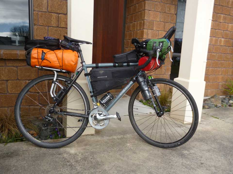
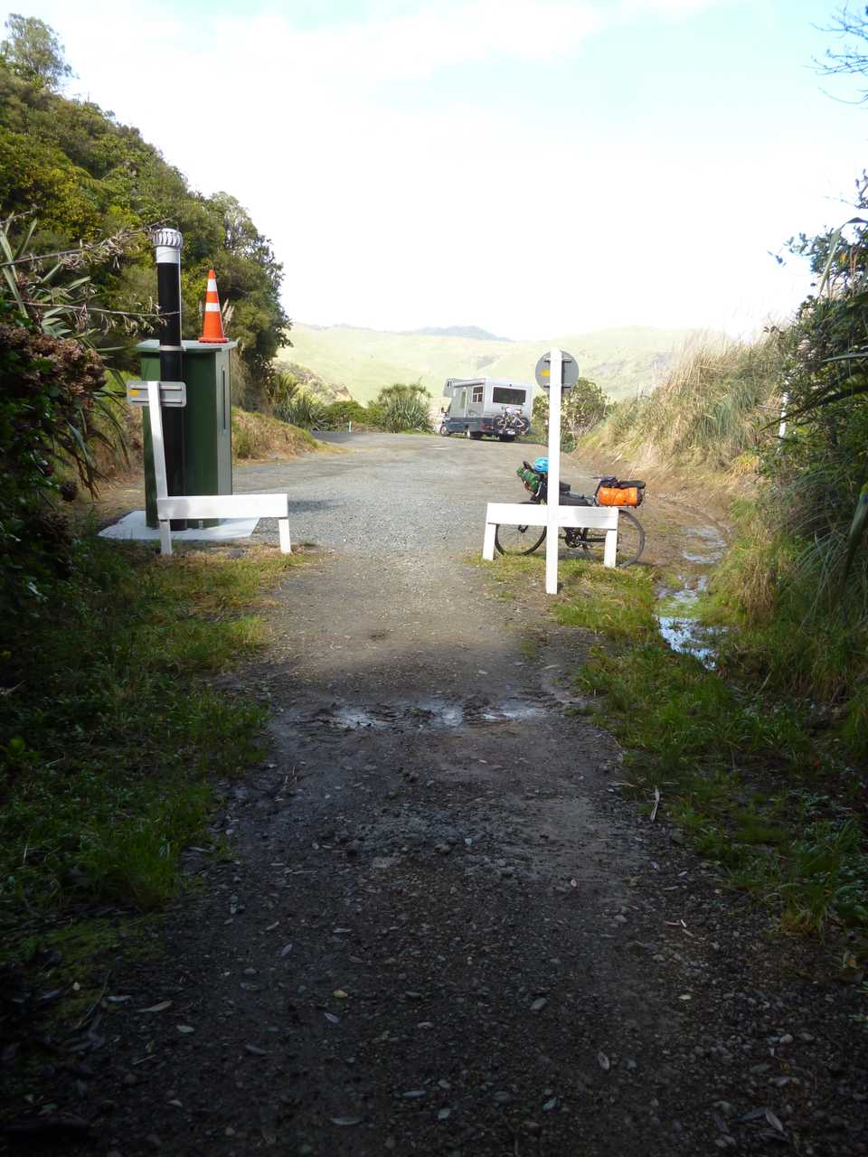
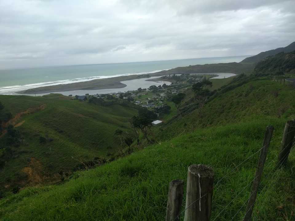
I didn’t get my summer bikepacking trip this year so with Covid-19 closing Capernwray and some time available an early spring trip proved too tempting. The initial plan was to leave after Lucas’ first birthday in West Auckland travelling from Pukekohe as Glenys was also going to be on a school hockey tournament there. For a while I’ve wanted to do a loop taking in Port Waikato then down the coast to Mokau coming back via Okura & Piopio. Once again the virus put a spanner in the works with Auckland being in level 3 lockdown and all parties being postponed. Hockey was transferred to The Mount so my shuttle option was no longer available so it was back to the planning notebook. Reverse the direction of travel but leaving from home seemed to be very feasible.
The planned route was to Piopio, Okura, Mokau then back via western roads to Ngarawahia and then home covering mostly back roads with plenty of gravel and climbing. Good options for accommodation and eating and with reasonable weather predicted. Surely I could cut out the distance in less days…..
Over all distance biked: 534km with 7931 metres ascended. Recorded on Strava but I had issues with consistency and battery life on my phone so these figures are from my Garmin Dakota GPS.
Day 1: Cambridge to Piopio via Waitomo
Distance: 106km Ascent: 1556m
Time (moving): 5hr 20m Moving average: 19.2km/hr
The first stage of 66km to Waitomo was on back roads but all paved and the usual rolling Waikato farmland so it was nice to hit Waitomo Valley Road as the scenery closed in and the road got quieter. I stopped in Waitomo Village for a coffee, smoothie & snack and the first of my many chats to those who wandered onto my path. The people I met on this trip complemented the scenery from a bore to engaging! All the business people I talked to missed the Auckland traffic and spending but it is the ‘off season’ so quiet anyway, just the quiet started earlier than usual.
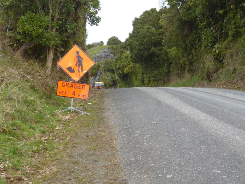
From Waitomo there’s a bit of climbing topping out at 480m with the first of the gravel roads on which I came across the warning sign saying “Grader next 4km”. Freshly graded gravel can be terrible to ride on so I was somewhat apprehensive for the next section, fortunately the machine I next saw was a roller, it was in fact a compacted surface that I enjoyed instead.
As one gets out of the Waikato the hills get bigger and the farm land less fertile so less dairying and more sheep & beef. From now until the last day I saw and smelt plenty of feral goats grazing road sides and farmland. I understand there is now some money in selling them. Goat curry can be very nice if not made from an old billy. The fresh westerly wind while fresh wasn’t a problem although with the last 20km being mostly downhill it did get a bit cool.
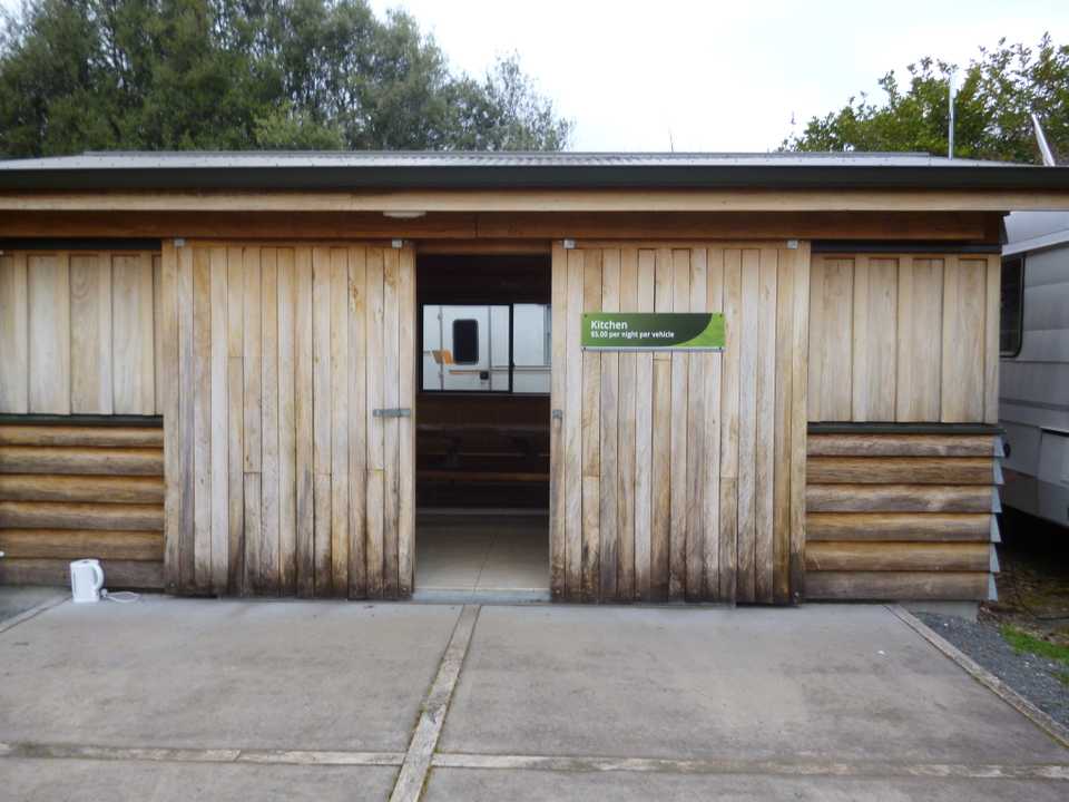
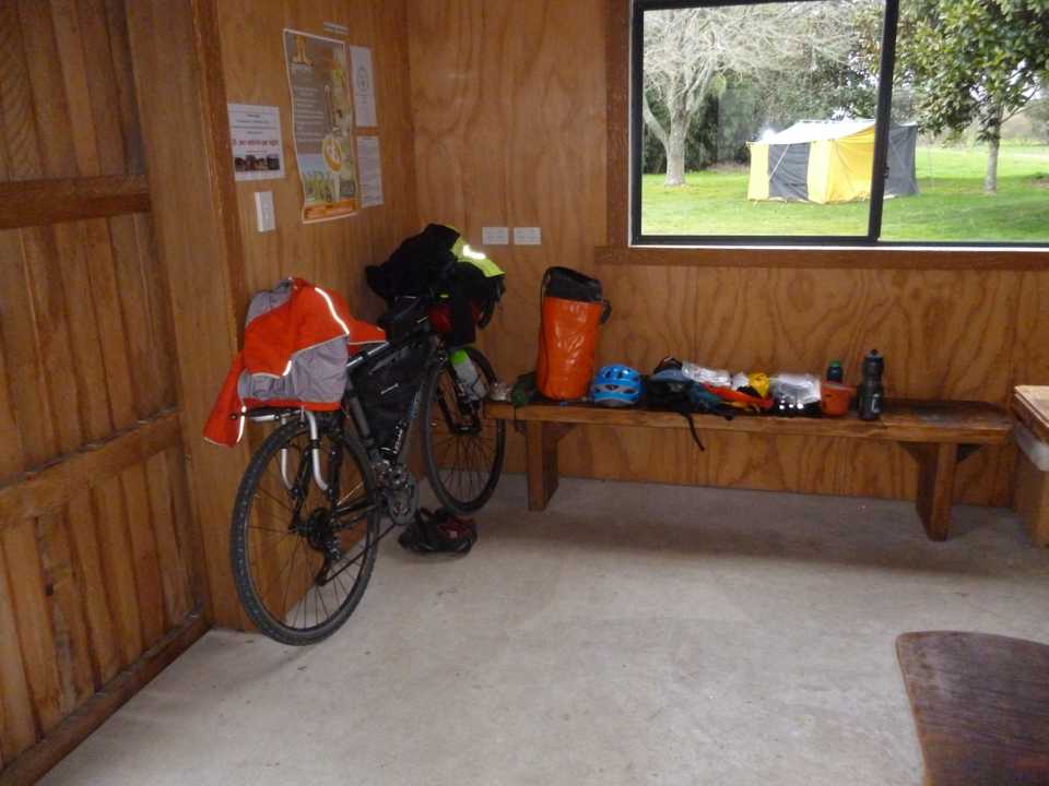
Piopio is home of the Fat Pigeon which was unfortunately closed when I got in. Accommodation for the night was camping at the Tui Camp site ($5 pp) a basic facility built by some community minded souls with school kids helping out. Good toilets and even a hot shower if I had purchased a Kiwicash tag to pay electronically (I hadn’t). I carried my tent expecting to camp but with few people about I was able to sleep on the concrete floor of the shelter. Dinner was rice & tuna eaten with a plastic spoon I scabbed from the local superette.
There seemed to be a 2 semi-permanent residents in their motorhomes, 2 more came in for the night and one departed but not before unloading on me more dribble than I’ve heard for a while. Beneath it all he seemed a lonely soul, no wonder though as he seemed to have lost the ability to stop talking, to top it off he had a sick dog with him who took advantage of my distraction and laid on my sleeping bag & mat leaving some dampness behind.
Day 2: Piopio to Mokau via Ohura
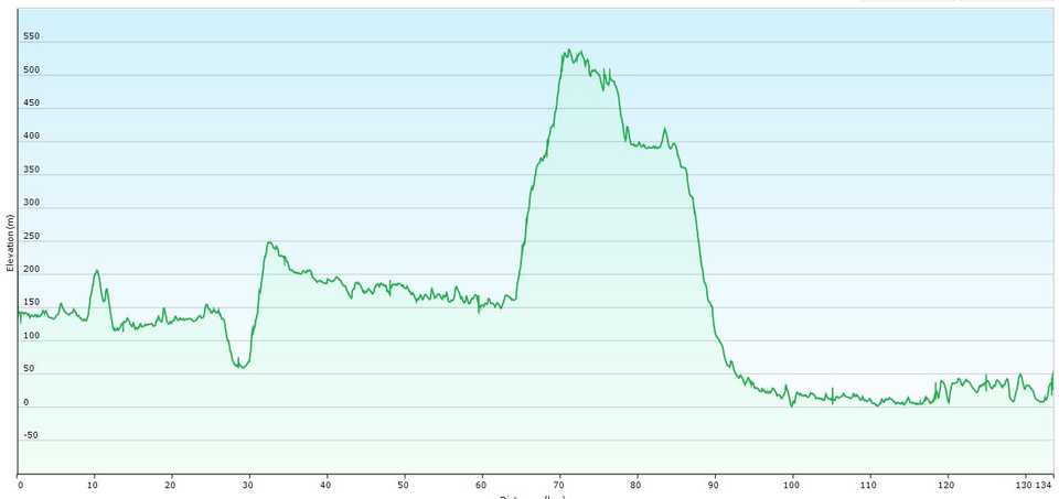
Distance: 134km Ascent: 1711m
Time (moving): 7hr 14m Moving average: 18.5km/hr
After a good sleep despite the concrete floor, a coffee courtesy of Jedd’s coffee bags and muesli it was pack up time. The forecast was for drizzle turning to rain with a southerly change pushing through sometime in the afternoon. I was cycling in a merino T under a hi-vis cycle shirt the usual cycle pants and a headband to keep the ears warm on the descents. Today I donned my Ground Effect Storm Trooper coat and being spring I was still using my winter gloves. With fairly decent scars on my hands I need padding on the palms so Tinelli gloves do the job well. Ground effect gloves are a bit hard for this old guy.
Piopio seems to have many quarries spread around the district which means keeping an ear out for dump trucks. On these narrower back roads I tend to get out of the way when I can, saves annoying drivers or worse being ground into the tarmac. A quick 13km run into Aria, a village in decline (although it does boast a Cossie club), sees the end of almost all traffic until I hit State Highway 3 many hours later. Ohura Road changes to a gravel surface with the usual hills, the worst being a climb of 200m over 3km. Apparently there were some coal mines here having underpinned the local economy since the 1930s but I saw nothing. No dairying here with a lot more marginal steep farms. Drizzle on and off kept me moving until I joined a more main road to cruise into Ohura.
Ohura’s claim to fame is that it once had a prison which was opened in 1972 as a minimum security facility with capacity for 97 inmates, the prison was decommissioned in November 2005. Some buildings still stand along with a few empty shops and one operating with an eclectic collection of what appeared to me as junk. Maori had milled flour here in the 1860s with European settlers moving in in 1900. Today it is very quiet although the rescue helicopter landed nearby, I checked the PLB to make sure they weren’t looking for me.
Having been watered & refuelled but only having done 60km I knew there was some tough stuff coming, another 70km and a big climb of nearly 400m and the forecast rain looked like it was coming soon. While riding I try to drink every 10 minutes and eat every hour. Snacks are trail mix, muesli bars and Pics peanut butter slugs. Lunch is either a pie or sardines, cheese & crackers if no shop is nearby.
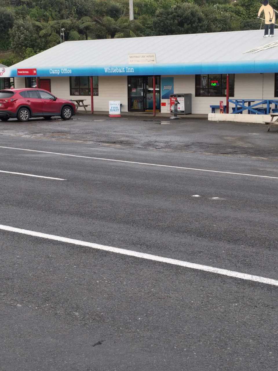
I left town passing the local emergency services loading someone into the chopper then started the 10km uphill. At least there was no traffic and the gravel was in pretty good shape. Farmland gradually changed to bush and I was able to enjoy some flowering clematis and some views into the descending cloud. As I topped out the rain became heavier and stayed with me until just before Mokau. I stopped to yarn to a couple of pig hunters and down some energy. One was the butcher from Mokau and offered me a ride if they saw me later in the day. I needed to make the Whitebait Inn before closing time at 5pm so pushed on into the ever increasing rain. A big downhill got me down toward the coast losing 500m on some sweet downhill on a section of tar seal, but I needed to eat some lunch. The only shelter was under trees in a roadside ditch, so that’s where another tin of sardines got emptied, muscles stretched and butt cream reapplied.
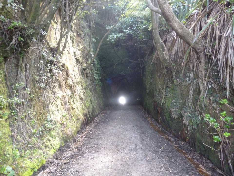
With the big descent out of the way I hit the Tongaporutu River valley and good riding, a tunnel through a big hill helped keep the road pretty flat until I reached State Highway 3 just South of Tongaporutu. The final 20km was the part I was least looking forward to and it lived up to my low expectations. Parts had little shoulder and with rain and trucks it was a bit tense at times. I had only 1 close call when the shoulder disappeared and a large truck appeared behind me, my front wheel started to slide out on the tar seal edge pitching my body toward the traffic, a very quick unclip and dab saved the day and probably the body!
With the drizzle easing up for the last 10km I cruised into Mokau with plenty of time to spare. The Whitebait Inn does takeaways and has basic cabins and rather than push another 6km to the Awakino pub I opted to take my rest here. Tomorrow was a shorter day anyway. A burger & chips helped sort the carb intake and a coffee sorted the caffeine, so it was into the shower and off for a walk to the coast and to work some other muscles. The village boasts 2 cafes, a butcher, school, police station and great sea views. There is a signpost to the Mokau Mine, thinking I had at last found a coal source it turned out to be a WW2 German mine that had washed ashore in 1942 and has this on it’s plaque.
LET THIS GERMAN MINE FOUND
DECEMBER 2ND 1942 REMIND US
IN THE DAYS OF PEACE. WITHOUT
VISION THE PEOPLE PERISH
With the Mokau river near by white baiters inhabit the place during the season. A good sea was pounding the coast and the rain had cleared although Mt Taranaki was still under cloud. Dusk forced me inside and with no TV and as I travel light I don’t carry reading material. I was left to read trip reports in the Motor Caravan Association magazines left by previous travellers.
Day 3: Mokau to Te Anga via Waikawau tunnel
Distance: 83.8km Ascent: 1282m
Time(moving): 4hr 25m Moving average: 18.9km/hr
A nice day dawned and this was to be my shortest day. The first 6km run along the highway was as usual, hairy with a few trucks and not a big shoulder. A southerly tail wind meant this part was soon over. White baiters were out in force but the Awakino River is a bit discoloured.
My route took a left turn off SH3 and it was good to be onto the road less travelled, in fact most of the back roads I followed on this trip were very quiet with 1 to 2 vehicles per hour or less. Along the valley here the farming seems marginal and there is evidence of farm sales to forestry companies with plenty of mature pines and more being planted. Despite being very quiet there is no gravel until I reach Whareorino School where the sign says 5km to the Waikawau Tunnel. Friends had recommended this side trip and it was well worth it. I stopped to talk to a farmer & her worker who were trying to track down a water blockage. While this area has nice flat farm land she lamented the sale of more hilly marginal farms to convert to trees taking families from these communities eventually closing schools.
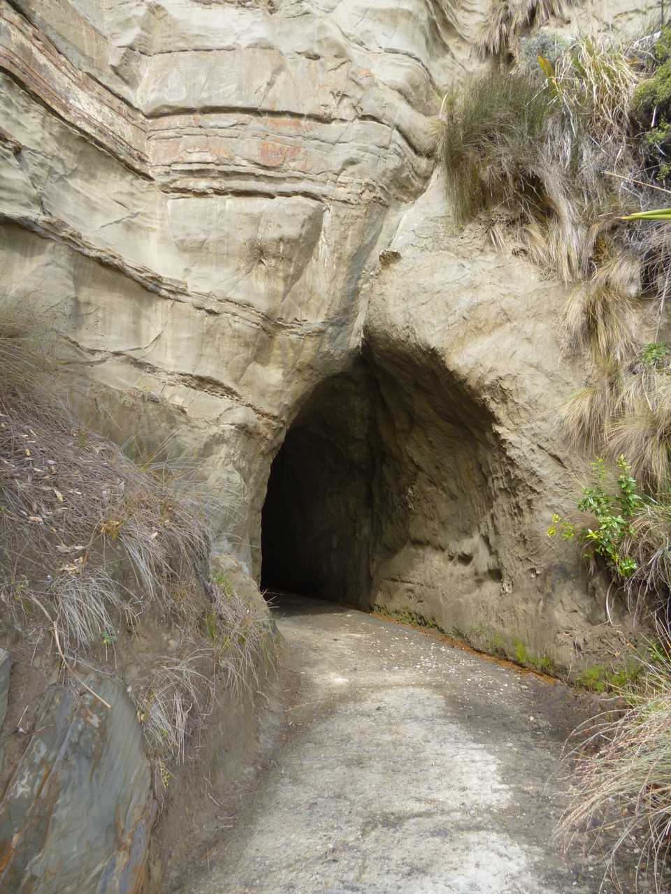
Waikawau Tunnel was made in 1911 by three men armed only with picks and shovels. It was constructed so cattle could be driven from a station further north, down the beach then back out at this point. Even though it is through sandstone at 50m long and wide enough to get a decent set of bull horns through it must have taken some work.
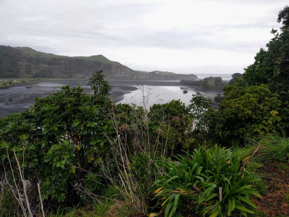
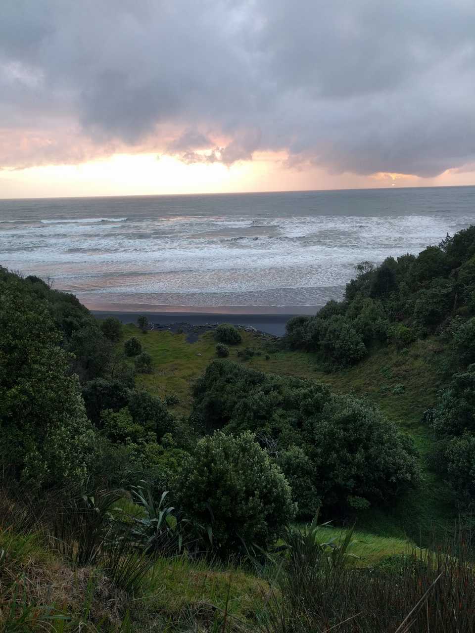
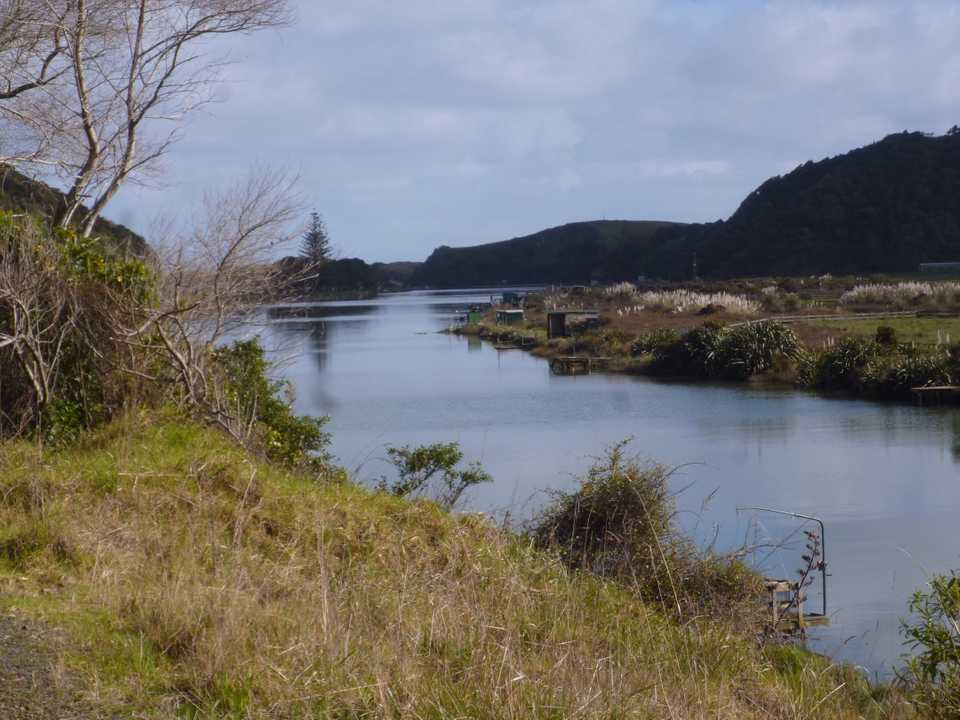
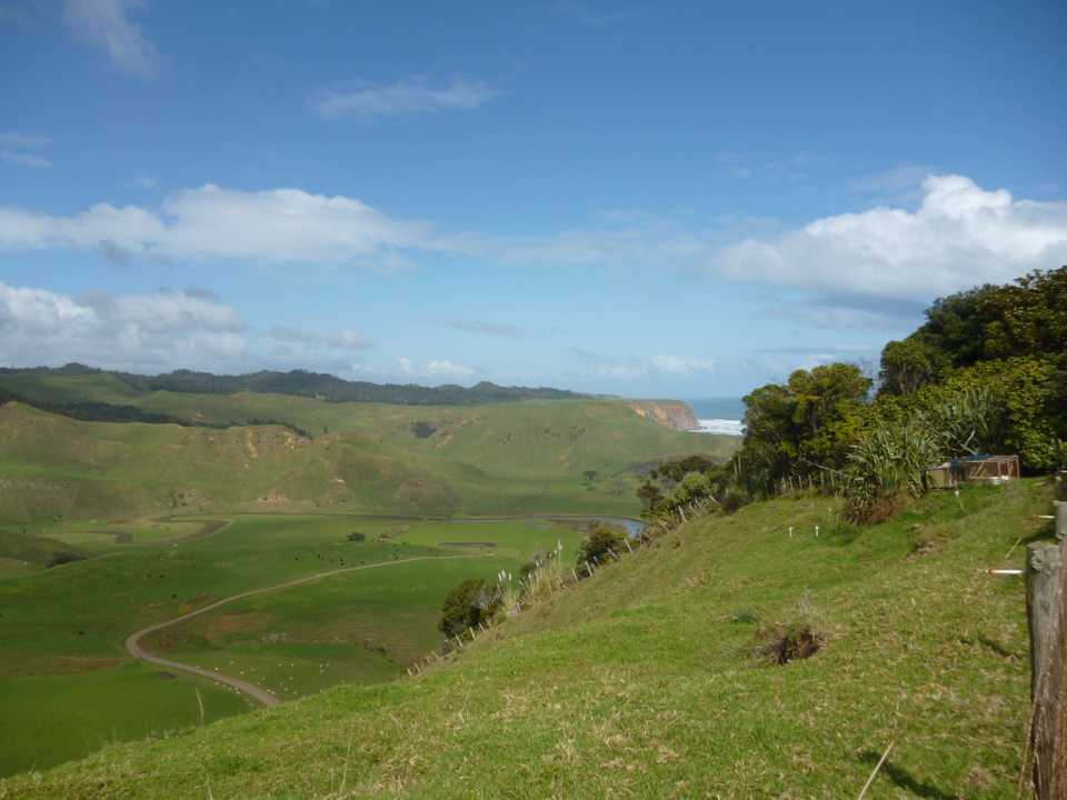
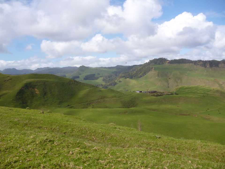
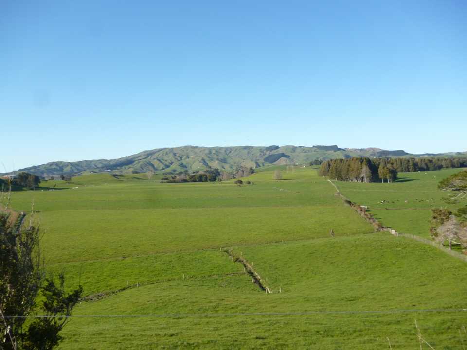
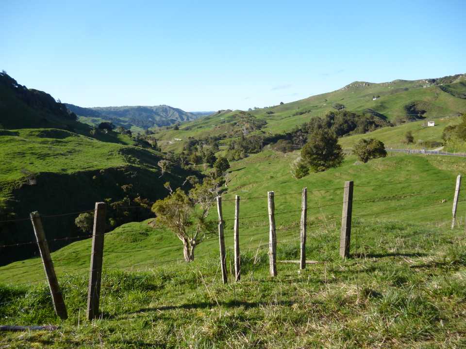
A couple in a camper paused for a chat, they had passed me before and were heading to Marakopa for the night. She had survived some heart troubles and were making the most of her now better health. There were a pair of electric bikes stashed on the camper, so good to see people taking the opportunity afforded by these bikes, even though one is not on my wish list. A local driving down from the hill above recommended that we go up to take in the view. The road was tar sealed which, in hind sight should have warned me about how steep the gradient turned out to be. Fully ridable, just! I quickly gained 100m to enjoy the great views up & down the coast as seen in the pictures below.
The next 10km would see me climb 300m, leaving farmland again for a nice ride through bush. The day was warm in the sun but with the southerly wind the shaded corners were still cold so the big descent was cold especially travelling at over 50km/hr.
The gravel started again but was in good shape with a slight downhill so speed was good until I reached the last hill of the day at Kiritehere. There is an old school here which I ran a camp at years back but it seems deserted now. I didn’t go the 2 km down to the beach but the sandstone rocks are full of marine fossils. At the top of a quick 100m climb I’m greeted with views of the small costal settlement of Marakopa.
Marakopa has a marae on the northern side of the Marakopa River and seems to have been a timber town in the 19th century, the area boasting at one stage a dairy factory, flax mill, school and post office but now all gone, there is a campground which I was going to stay at but I have friends farming a few km up the road near Te Anga so taking advantage of the now westerly wind I followed the meandering Marakopa River along the river flats to their place. In the distance I saw a couple of cyclists approach but with making such good speed I didn’t stop, it was the campervan couple out for an afternoon ride, I bet they were glad of their motors as they were pushing into a good breeze.
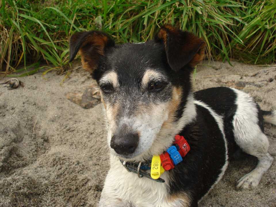
Castle Crag is an imposing series of limestone cliffs that dominate the scenery above the Marakopa River as it wends its way toward Te Anga then back to the impressive Marakopa Falls. The farm takes its name from this crag. It is run by friends who have turned it to an organic enterprise and also run an Air BnB. My first connection with them was visiting them for Guy Fawkes night with a youth group and families. The day consisted of 4x4ing in a Unimog with the kids sliding around on the steel deck as we traversed various obstacles, possum bashing and finally the bonfire where our faithful hound, Rex, showed his true Jack Russel metal by attacking any live firework he could get his jaws on. He was banished to a car to the smell of singed hair, protesting all the way!
Simeon is now married with 3 great kids so may have settled down although when I arrived he was busy on a small digger with his youngest on his knee. It was a delight to stay, the highlight being able to read bedtime stories to the kids before I retired for the night.
Day 4: Te Anga to Raglan via Oparau
Distance: 101 km Ascent: 1897m
Time (moving): 5hr 49m Moving average: 17.3 km/hr
Nothing like a real bed after a big day for a good sleep which I enjoyed. I headed out the gate not far after the school bus following the Marakopa River until the left turn at Te Anga. In days past there was a local pub here, this morphed briefly into a café but alas all closed up now. It would be too early to stop anyway, next pie shop is 55km away after some scenic harbour side riding. The climb to get over to Kawhia harbour starts with a gradual gradient following Taharoa Rd the last bit gets a bit steeper topping out at around 300m then some great views over farmland to the southern end of the harbour.
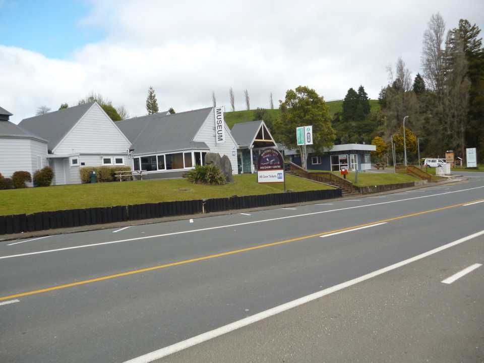
I’ve biked here once before as part of a loop from Waitomo Village and also visited a cave on the tops here to help retrieve a historic caving ladder made from rimu battens woven with number 8 wire, it now resides in the Waitomo Caves museum. Left takes one out to Taharoa iron sands where ships are loaded with this raw material to head to foreign parts. My road heads right and a quick downhill brings me to my first pit stop of the day at Kinohaku, notable for a school and hall with a clean toilet.
The road hugs the harbour side for some time and with the tide currently full it made for pleasant riding. Low tide exposes mud flats. There are lots of goats around and I pass the junction to where Tyler & I had access to a farm to knock some of these pests off.
Harbour views give way to farmland and another cyclist. We stop to share stories & rest our butts. His setup is more rudimentary than mine as this is his first foray into the world of bike packing. He’s come from Port Waikato and followed the route I had first planned. This was his last day of this trip and it sounds as if he has enjoyed himself as wisely he has done more modest distances each day.
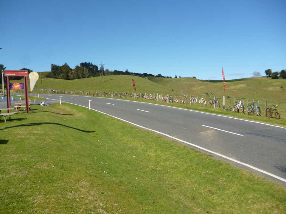
Half way point is the Oparau Roadhouse (& feature bike fence) 14km from Kawhia, the only pie stop before Raglan. In normal life I don’t eat pies for health reasons but this is cycling life so I bought two! The bacon & egg pie I had here a few months earlier wasn’t great but their steak & onion pies didn’t touch the sides. It’s not yet midday and I’ve done 55km so I allow a decent rest, charge the phone & catch up with messages.
The next section to Raglan is hilly, but then all of the cycling I’ve done so far is hilly. The North Island is absolutely full of hills, so if you can’t handle hills get a motorbike because the scenery is worth travelling through. The gravel starts just past the turnoff to Raglan but is in good condition with not too many potholes or rocks. Farmland, bush, hills, Aotea Harbour and more hills, not too big just up & down. The gravel surface deteriorates as I get closer to Raglan making progress less pleasant without any suspension. I finally hit tar seal again and a great downhill to relax on.
Mid-afternoon I pull into Raglan Holiday Park and get a basic cabin. The place has expanded since I was last stayed with plenty of permanent caravans & more cabins. I’ve got a kitchenette so I can eat my last dehy meal, but first it’s into the showers to get the grime & sweat off, then into town for a walk and ice cream. I carry a basic change of clothes so I can go out in public, there is a cool breeze so I’m glad of my new light weight Macpac downie. A great item to carry as it packs down really small but is warm and I can use it as another layer if I get cold at night.
I have neighbours tonight who are on a motor bike journey. They have traversed a similar route as me today. We swap yarns about meeting hoons on the wrong side on gravel roads and the state of the last bit of gravel today. Good to have a bit of human interaction to finish the day.
Day 5: Raglan to home via Ngaruawahia
Distance: 109 km Ascent: 1485m
Time (moving): 5hr 40m Moving average: 19.3 km/hr
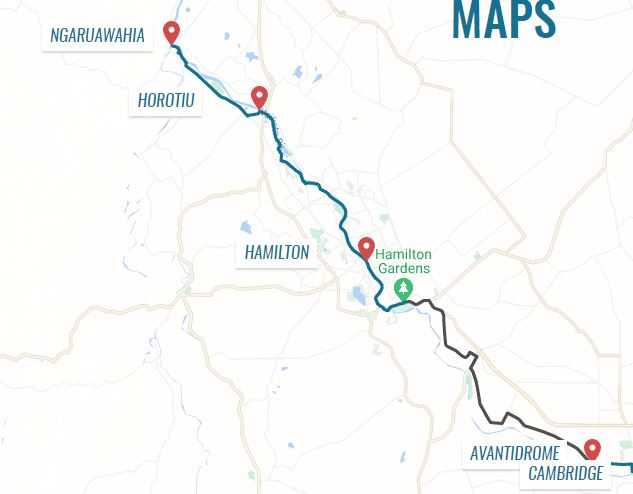
I’m thinking that this should be a reasonably easy day. There seems to be less climbing and the last half is on the Te Awa River Ride a mostly concrete path along the Waikato River to Cambridge. I certainly didn’t feel like it though. It was the coolest morning and I had the busy Raglan road for a bit although I was able to get off it pretty quickly. Hills were the theme of the morning, similar riding to the previous day, farmland, gorse, pines etc.
I passed Waingaro Hot Springs but wasn’t tempted to go in, it would be nice at the end of the day. Glen Massey welcomed me with a determined magpie desiring to rip my head off. Despite being on a downhill section be strafed me 4 times making contact with my helmet on a couple of occasions. The key with magpies is not to turn around as they hit you, loss of eye can result. While they do give you a fright the helmet protects the head. A stick can deter them but you need to be careful about getting too excited and fall off.
There is a nice park as you enter Ngaruawahia at the confluence of the Waipa & Waikato Rivers that marks the end of the Tre Awa River Ride. The plan is to link a cycle track through to Cambridge and beyond, they are close to finishing the project. It’s about 50km to go so after a lunch of warm cheese, peanut butter & train mix I head off. I soon meet a local school doing their cross country on the wide concrete trail, a bit different to cross country races back in my day.
The trail keeps me off roads most of the way through Hamilton but it becomes a bit tedious and slow with having to ‘share with care’. I’m making good time but am feeling a bit jaded so pop into the Hamilton Gardens looking for an ice cream. The café is open but pretty shut up with no real safe place for the bike so I push on to the road works just past the gardens and out of town. This section really needs work as I ride on the footpath to avoid the really busy roads.
I’m now on home territory so push through to home with tiring legs and get in mid-afternoon to start the unpacking & clean-up process. I will be clean & tidy by the time Glenys gets back from her hockey tournament. We both have a lot to share as during her week not only was she responsible for the High School hockey teams she ended up being interviewed on TV as president of SLANZA. Never a dull moment in our lives!
Overall a great trip, no off road this time and I managed to do much better with my eating. I still feel capable of doing bigger days so I need to start planning my summer trip!!
